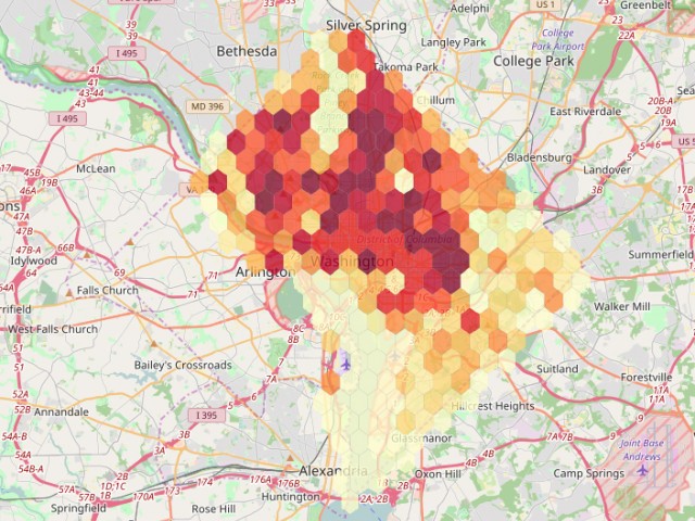
Defining neighborhood boundaries within a city is a complex and often subjective task. Neighborhoods boundaries are defined by the people that visit and live in the region, and activities that occur within those boundaries. Depending on the individual or group activity being conducted, these boundaries can change substantially. Transportation and human mobility patterns offer a novel basis on which to explore and delineate neighborhoods. In this work we take a first, exploratory step in capturing dynamically changing neighborhoods based on two different types of urban mobility data: Car2Go and BikeShare data. Through clustering temporal urban mobility signatures of alternative transportation users in Washington, D.C., this work provides implications about the characteristics of different types of mobility data and research directions.
This abstract has been accepted for an oral presentation at the symposium, and invited to a special issue submission.
Lee, M., McKenzie, G., & Aghi, R. (2017, July). Exploratory Cluster Analysis of Urban Mobility Patterns to Identify Neighborhood Boundaries. Symposium on Location-Based Social Media Data and Tracking Data (LSMTD). Washington D.C., U.S.