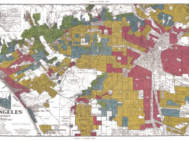

Over the past four years, teams of archivists have digitized portions of National Archives RG195: General Records of the Home Owners’ Loan Corporation [HOLC]. The records include surveys, memorandums, and maps of American neighborhoods in the 1930’s. Now that the records are available digitally, students and faculty members are working to curate the collection and “data-fy” the information contained within. This involves extracting text from digitized 75-year-old records, designing queryable databases to house the information, and disseminating the information, so it is publically accessible. With partners from the University of Richmond, John Hopkins University, and Virginia Tech, the Digital Curation Innovation Center plans to georeference the historical maps and display them on Google Maps, an innovative digital curation technique to visualize changing American neighborhoods.
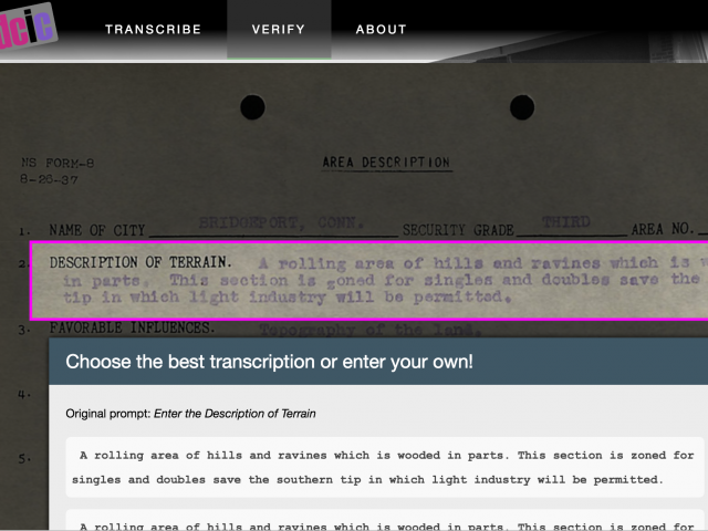
I mainly worked on adjusting and developing a crowdsourcing platform called "Scribe," which was initially developed by NYPL. This platform provides interfaces and databases that allow many people to transcribe scanned documents collaboratively. My goal was to modify and adjust the platform so that it can be connected to the Redlining app that hosts HOLC documents. This platform is deployed on a production server (running on top of Nginx and Passenger) and being used by student volunteers who transcribe documents in a systematic way. The URL for this platform is: https://transcribe.ischool.umd.edu
This work has been released to numerous newspapers such as National Geographic and NPR. For my interview at the iSchool: https://ischool.umd.edu/news/ischool-students-contribute-nationally-reco...