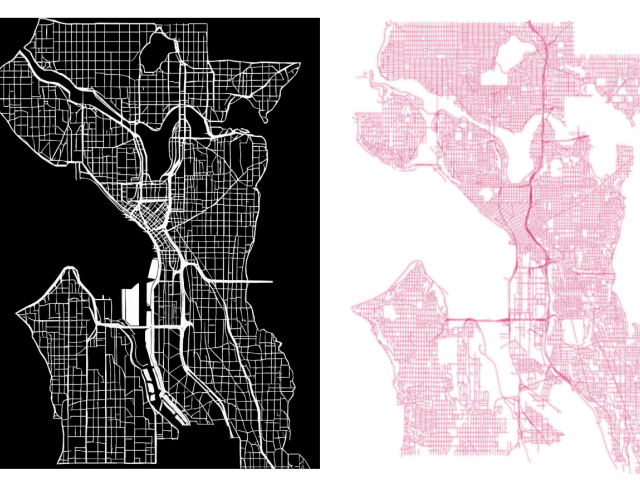
A wide range of studies has explored historical events and their long-term impacts, with urban redevelopment, particularly in the contexts of urban renewal, gentrification, and redlining, emerging as a rich area of research. However, despite extensive attention to its causes and consequences, quantifying how urban structures have changed over time remains methodologically challenging, as scanned historical maps contain visual noise and annotation. While some computational methods have been developed to quantify street networks, they are often limited in applying to historical maps and their differences. This study proposes a computational method to measure urban transformation by comparing contemporary road structures with those from historical maps. Using the 1930’s redlining maps as a case study, we extract road features and quantify urban structural change over time. The preliminary analysis sheds light on studies focused on urban transformation and redevelopment, aiding researchers and policymakers in understanding the spatial legacy of historical policies.